Trail Cycle La Tour-du-Meix - Vouglans - Photo
 albert39
albert39

User

© OpenStreetMap contributors
Length
Length
79 km
Max alt
Max alt
747 m
Uphill gradient
Uphill gradient
1312 m
Km-Effort
Km-Effort  
96 km
Min alt
Min alt
348 m
Downhill gradient
Downhill gradient
1312 m
Boucle
Boucle
Yes
Creation date :
2014-12-10 00:00:00.0
Updated on :
2014-12-10 00:00:00.0

(0 Reviews)

Cycle
Cycle
4h40
Difficulty : Difficult

Scan this QR Code to open this trail in the SityTrail application

FREE GPS app for hiking

Logo SityTrail SityTrail

IGN / Geographical institutes

Download SityTrail from the App Store Download SityTrail from Google Play

Logo SityTrail SityTrail World

The world is yours!

Download SityTrail from the App Store Download SityTrail from Google Play Download SityTrail on Huawei AppGallery

About

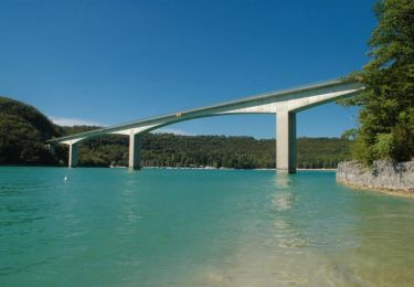
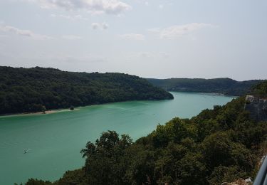
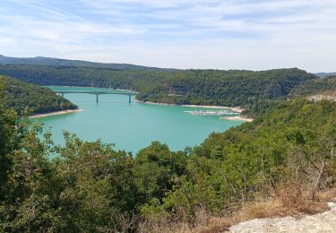
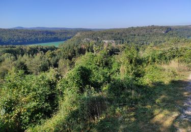
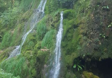
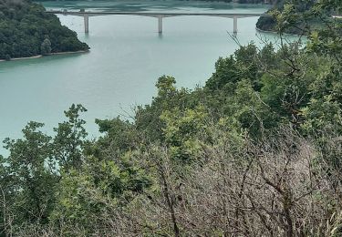
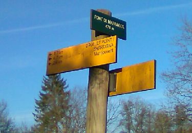
Trail Cycle of 79 km to be discovered at Bourgogne-Franche-Comté, Jura, La Tour-du-Meix. This trail is proposed by albert39.

Description

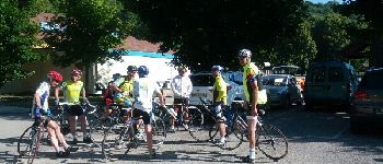
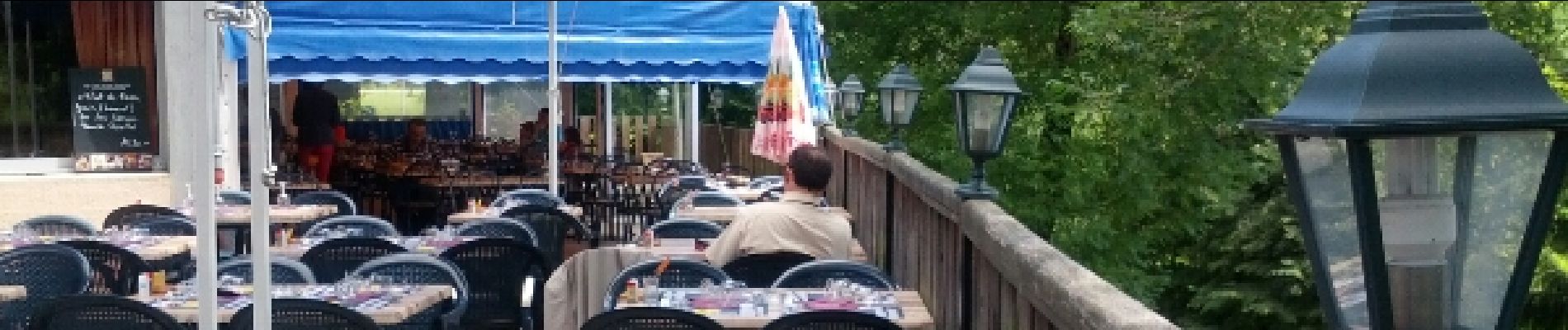
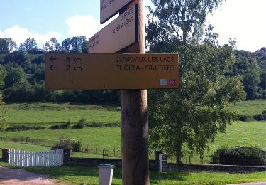
Sortie vélo journée. Parking Base de Loisir de Surchauffant. Repas resto midi. Circuit en deux boucles, matin par Onoz, Arinthod et Orgelet ; Après-midi, St Christophe, Pont-de-Poitte, Toiria, Meussia et retour voiture.

Elevation profile

Photos

Points of interest

Point of interest La Tour-du-Meix - Point 1 - Photo
albert39
LA TOUR-DU-MEIX 
Point of interest La Tour-du-Meix - Point 2 - Photo
albert39
LA TOUR-DU-MEIX 

Positioning

Country:
France
Region :
Bourgogne-Franche-Comté
Department/Province :
Jura
Municipality :
La Tour-du-Meix
Location:
Unknown
Start:(UTM)
704898 ; 5155274 (31T) N.

Trails nearby

Trail Mountain bike La Tour-du-Meix - Lac de Vouglans nord - La Tour-du-Meix - Photo
Mountain bike
tracegps

Mountain bike

Difficult
(3)
La Tour-du-Meix, Bourgogne-Franche-Comté, Jura, France
36 km | 46 km-effort
3h 0min
Yes
Trail Walking La Tour-du-Meix - Vouglans depuis St Christophe - Photo
Walking
GUIDE
David25400

Walking

Easy
(1)
La Tour-du-Meix, Bourgogne-Franche-Comté, Jura, France
8.3 km | 10.8 km-effort
28h 50min
Yes
Trail Walking Thoiria - Thoiria : grotte et cascades - Photo
Walking
j.pont

Walking

Medium
(1)
Thoiria, Bourgogne-Franche-Comté, Jura, France
7.1 km | 9.6 km-effort
3h 26min
Yes
Trail Mountain bike La Tour-du-Meix - Jura -  La tour du Meix VTT - Photo
Mountain bike
Atchoum26

Mountain bike

Medium
La Tour-du-Meix, Bourgogne-Franche-Comté, Jura, France
17.8 km | 24 km-effort
2h 28min
Yes
Trail On foot Dompierre-sur-Mont - Sentier Nature - Photo
On foot
PRO

On foot

Easy
Dompierre-sur-Mont, Bourgogne-Franche-Comté, Jura, France
3.7 km | 4.4 km-effort
59min
Yes
Trail Walking Barésia-sur-l'Ain - Soucia - Photo
Walking
ROPPJP

Walking

Medium
Barésia-sur-l'Ain, Bourgogne-Franche-Comté, Jura, France
8.4 km | 10.9 km-effort
2h 20min
Yes
Trail Walking Écrille - haute vallée de la valouse - Photo
Walking
Bobzebob

Walking

Medium
Écrille, Bourgogne-Franche-Comté, Jura, France
14.8 km | 19.6 km-effort
3h 10min
Yes
Trail Walking La Tour-du-Meix - Le pont de la pyle - Photo
Walking
colomb24

Walking

Very difficult
La Tour-du-Meix, Bourgogne-Franche-Comté, Jura, France
17.5 km | 23 km-effort
11h 37min
Yes
Trail Walking Écrille - Ecrille-Bords de la Valouse - Photo
Walking
Bogapuki

Walking

Easy
Écrille, Bourgogne-Franche-Comté, Jura, France
13.2 km | 17.9 km-effort
3h 49min
Yes


Close
My subscriptions